
SR-96 Sidewalks / Multi-Use Path for City of Franklin, TN
Roadway database survey for two busy sections of SR-96 near downtown Franklin.State Route 96 is the main east-west corridor through the City of Franklin, Tennessee. In their effort to improve pedestrian and bicycle mobility along this strategic corridor and provide safe access to schools, parks, and the vibrant downtown, the city plans to construct new multiuse paths, sidewalks, and intersection improvements.
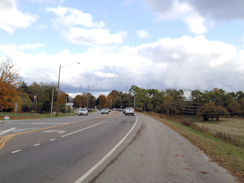
CIA was tasked with providing a roadway database survey for two busy sections of SR-96 near downtown Franklin. These sections included 6000 linear feet of Murfreesboro Road (SR-96) east of downtown from Pinkerton Park east to Mack Hatcher Memorial Parkway (SR-397) and 3300 linear feet of Highway 96 West from Vera Valley Road west to Vintage Grove Lane.
The topographic survey scope included precise locations of all existing roadway and utility features within the proposed corridors as well as development of an accurate digital terrain model and location of existing right-of-way and properties for acquisition of easements. CIA established horizontal and vertical control with GPS and confirmed vertical precision with differential levels.